8,611 m
The Savage Mountain
K2 — Karakoram
The world's second-highest mountain, known for its extreme difficulty.
The region
Where the Karakoram, Himalaya and Hindu Kush meet.
Gilgit-Baltistan (GB) is a sparsely populated high-mountain region in the north of Pakistan. Its natural environment is usually described with superlatives — the longest glaciers outside the polar regions, the world's second-highest peak, and four more eight-thousanders.
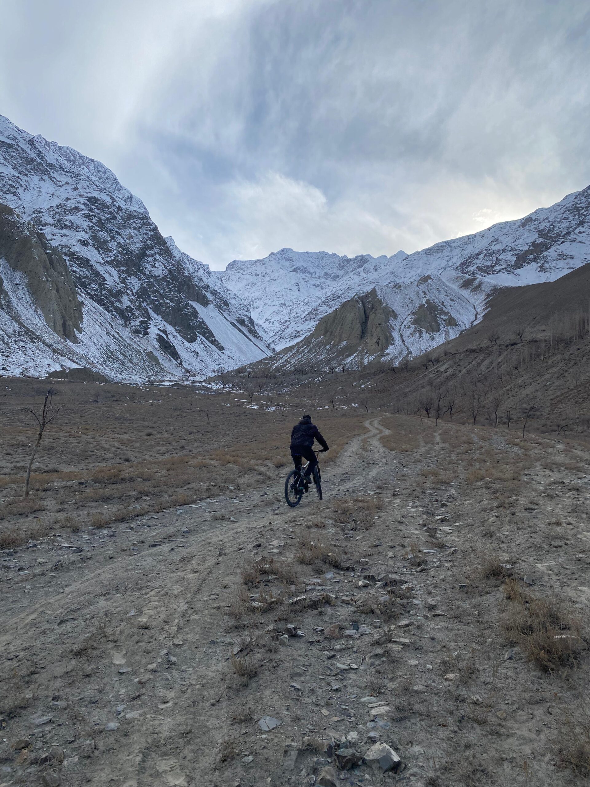
Geologically it spreads over three mountain systems — the Himalaya, Karakoram and Hindu Kush — and its society is just as diverse in language, religion and ethnicity. In an area roughly 500 km wide and 350 km deep sit over 700 peaks above 6,000 metres and more than 108 above 7,000 metres. That compelling charm draws mountaineers, adventure seekers and nature lovers from around the globe — and makes it extraordinary riding country.
The giants
The Savage Mountain
The world's second-highest mountain, known for its extreme difficulty.
The Killer Mountain
The ninth-highest mountain globally, infamous for its challenging ascent.
Hidden Peak
Known for its stunning beauty and a relatively low number of ascents.
Baltoro massif
The 12th highest peak in the world, rising above the Baltoro glacier.
Baltoro massif
The 13th highest mountain globally, with breathtaking Baltoro views.
Gilgit-Baltistan spans 72,000 square kilometres with a population of around 2.3 million, across three divisions — Gilgit, Baltistan and Diamer — and ten districts. It is bordered by the Wakhan strip and Xinjiang to the north, Kashmir to the south and south-east, and Chitral to the west.
The Hindu Kush separates the Ishkuman and Yasin valleys from the Wakhan corridor, while the Karakoram's Muztagh mountains rise to the east, with the Gilgit, Indus and Shyok rivers marking the southern boundary against the Himalaya. Thirty kilometres from Skardu lies the Deosai Plain — the world's second-highest plateau, 3,000 square kilometres at an average elevation of 3,500 metres, snow-covered for much of the year.
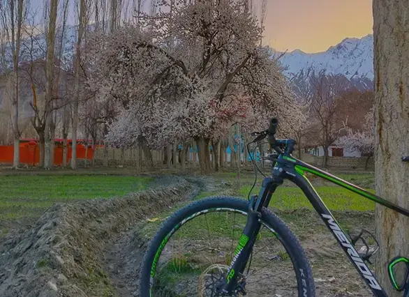
Mountains, plateaus, lakes, glaciers, deserts, forests and a living heritage of culture and tradition draw well over a million visitors each year. Organised responsibly, tourism is one of the region's greatest opportunities — and cycling is one of the gentlest ways to see it.
Ride with us in Skardu — whether it's your first 10km or a Deosai high-altitude crossing.